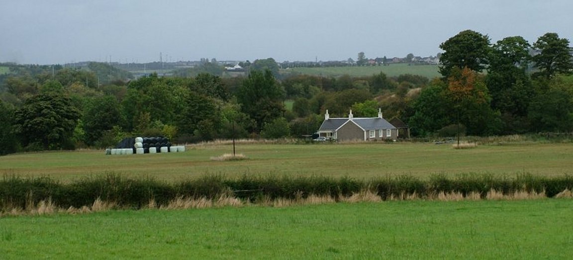
Situated just off the Calder Road, (the left turn just beyond the current entrance to Redlees park), the house was saved, repaired and is now a lovely, modern home.
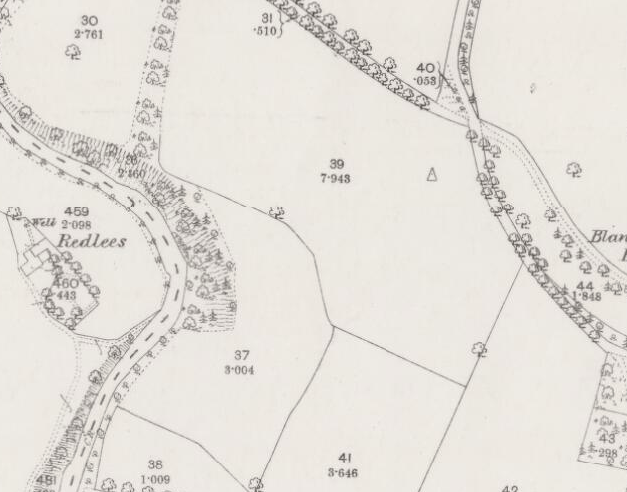
Redlees had a well in the garden as pictured in this 1864 map and must have been fairly tranquil at the time. The House 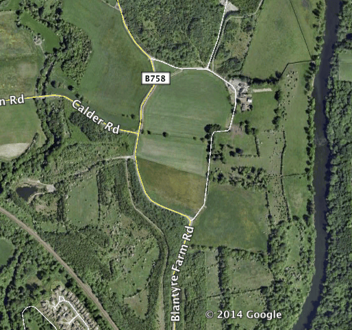
As the property is private and currently lived in, i have provided a modern aerial photo, where Redlees can be seen at the top left. Actually, Redlees is situated to the West of the Rotten Calder (Parish Boundary), putting it just sneaking into Cambuslang Parish.
Of note, Redlees was immediately adjacent to the small mining village named Caldervale (Fin Me Oot).
Fin Me Oot was the name given to this lost village located on the East banks of the Rotten Calder, a tributary of the River Clyde. This meant Fin Me Oot was in the Blantyre Parish, despite it being so close to Redlees.
However, in its latter years, after the demise of mining in the area, its location meant it was not easily found by visitors, and this may be how the name Fin Me Oot came to be associated with it. Anecdotal accounts relating to the name suggest its use only began after mining ceased. By repute, the village was still extant in 1959, but the date of last occupation, or of its demolition, are unknown. Sources: 1859 Valuation Roll and Secret Scotland Online.